Overview
These microcredentials will provide a foundation, and then advanced methodologies and techniques, in GIS, applicable to various fields, including environmental planning, climatology, geology, demography, health sciences and crime mapping.
Department
Program Type
Area of Study
Delivery Mode
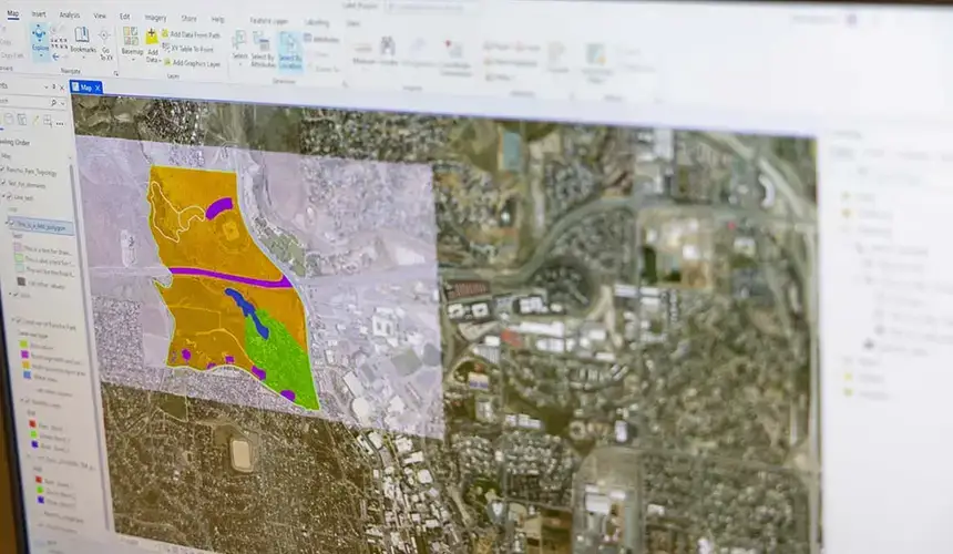
SUNY Oneonta offers two, stackable Geographic Information Systems microcredentials:
Skills
SUNY Oneonta’s Basics of Geographic Information Systems (GIS) microcredential provides you with the following skills:
- Basic proficiency with industry-standard GIS software
- Understanding of the theoretical foundation of GIS
- Data analytics and visualization
- Digital cartography
Required courses
- GEOG - 2039 - Digital Earth and Basic GIS
- GEOG - 3106 - GIS: Principles and Methods
Competencies
Upon completion of the program, students will demonstrate:
- Understanding the theoretical foundations of GIS and its various applications
- Applying GIS to real-world scenarios using spatial data to address and propose solutions to geographic problems
- Intermediate proficiency in using industry-standard GIS software, such as ArcGIS or QGIS, for data visualization, spatial analysis and cartography
- Collect, manipulate and analyze spatial data to solve real-world problems, utilizing georeferencing, raster and vector analysis and geoprocessing techniques
Eligibility
This microcredential is available to current matriculated undergraduate students.

Skills
SUNY Oneonta’s Advanced Geographic Information Systems (GIS) microcredential provides you with the following skills:
- Proficiency with industry-standard GIS software
- Suitability and network analysis
- Data Analytics
- Digital cartography
Required courses
- GEOG - 3116 - Environmental Applications of GIS
- GEOG - 4106 - Geographic Information Systems: Advanced Methods
Competencies
Upon completion of the program, students will demonstrate:
- Understanding the advanced theoretical basis of GIS and its various applications
- Applying GIS to real-world scenarios using spatial data to address and propose solutions to geographic problems
- Intermediate proficiency in using industry-standard GIS software, such as ArcGIS or QGIS, for data visualization, spatial analysis and cartography
- Applying GIS modeling techniques to simulate and analyze spatial phenomena, using tools such as spatial interpolation, suitability analysis, and network analysis to develop models and solve real-world geographic problems
Eligibility
This microcredential builds on the Basics of Geographic Information Systems microcredential and is only available to students who have completed that microcredential.
Basic & Advanced: 1 semester

Basic & Advanced: 6. s.h. (undergraduate level)

Geography, B.S.

Basic & Advanced:
- NYS resident = $1,770
- Non-resident = $4,506
