Overview
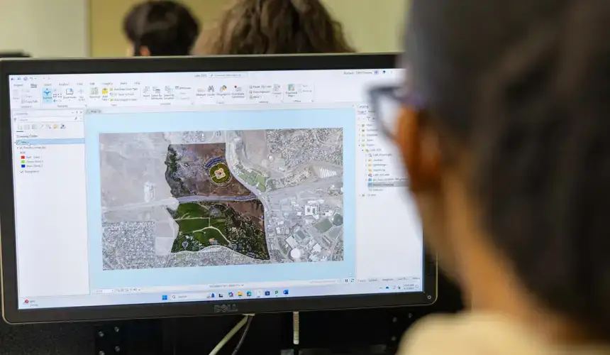
The Graduate Microcredential in GIS (Geographic Information Systems) provides intensive, focused training in geospatial concepts and methods through two graduate-level courses: GIS: Principles and Methods and GIS: Advanced Methods. Designed for both academic and professional audiences, the program introduces foundational GIS theory while advancing to complex spatial analysis, data visualization, and applied geospatial techniques.
Department
Program Type
Area of Study
Delivery Mode
Skills
SUNY Oneonta’s Graduate Microcredential in GIS provides you with the following skills:
- Understanding of complex geospatial concepts and methods
- Application of spatial data analysis to real-world problems
- Advanced use of cartographic visualisation
- Ability to execute advanced geoprocessing techniques
Required courses
- GEOG - 5106 - GIS: Principles and Methods (3 s.h.)
- GEOG - 6106 - GIS: Advanced Methods (3 s.h.)
Competencies
Upon completion of the program, students will demonstrate:
- Spatial reasoning by applying geographic concepts to analyze relationships, patterns, and processes across space.
- Use GIS software proficiently (e.g., ArcGIS, QGIS) to manage, manipulate, and analyze geospatial datasets.
- Organize and integrate spatial and tabular data from multiple sources into cohesive GIS projects.
- Apply cartographic principles to design and produce accurate, clear, and professional-quality maps.
- Conduct spatial analyses such as buffering, overlay, network modeling, and hotspot analysis to address applied or research questions.
- Perform raster-based analyses (e.g., terrain modeling, classification, raster-vector integration) to interpret environmental and spatial phenomena.
- Employ advanced GIS methods including model builder, scripting (e.g., Python), and spatial database queries to automate and scale geospatial workflows.
- Design and execute an applied GIS project that incorporates problem definition, data management, analysis, and presentation of results.
- Evaluate data quality and ethical considerations in geospatial research, including privacy, uncertainty, and responsible data use.
- Communicate GIS findings effectively to technical and non-technical audiences, including academic, policy, and professional stakeholders.
- Apply GIS methods in disciplinary or professional contexts (e.g., environmental sustainability, public health, urban/regional planning, crime analysis).
Eligibility
Open to current matriculated graduate students.
2 semesters

6 Credits

No

NYS resident = $2,826
Non-resident = $5,928

2 semesters
6 Credits
No
NYS resident = $2,826
Non-resident = $5,928